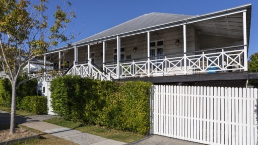
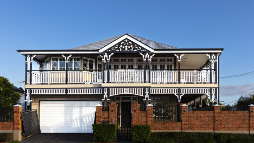

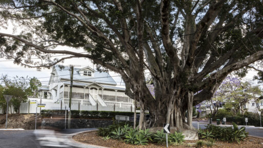
Rainworth House and the Graves of Two Governors
On this walk you will pass by one of the original houses in the district, and visit the graves of Queensland’s second and sixth governors.
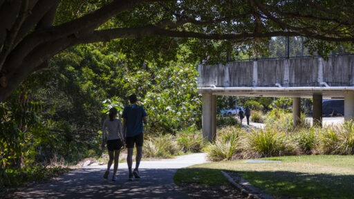
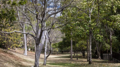
Let’s goTwo Historic Houses and a Bushland Park
You will be pleased to learn that most of this walk will take you through quiet suburbia, parks, or bushland.
Let’s goAlong Ithaca Creek
This walk, while quite long, does not feature the challenging gradients that abound in some others in this district and so would be more suitable for running for those with that inclination.
Let’s goSimpsons Road and Upper Ithaca Creek
An interesting trip although necessarily sedate and deliberate due to the steepness of the serpentine track and the narrowness of the roads.
Let’s goOld Ithaca
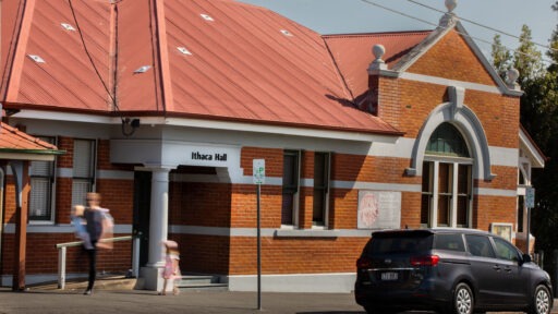
On this walk you will pass some of the prominent landmarks of the old Division of Ithaca, first proclaimed in 1879 but later becoming a shire and then a town before being subsumed into the City of Brisbane in 1925. Its boundaries were reduced somewhat over time but always included Red Hill and large parts of Milton, Paddington, and Bardon.
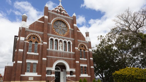
Let’s goThree Churches and some local history
This walk is as close to circular as the topography of this district will allow. However, its achievement does require considerable changes in elevation with some steep inclines to be negotiated.
Let’s goWest Ashgrove, schools, historic houses and Enoggera Creek
This walk begins with a familiar walk along Fernberg Road and then the ascent of MacGregor Terrace to the junction with Jubilee Terrace. Rather than taking that road, enter Northam Avenue taking the northern side of the divided road and a little way along you will find a steep staircase that takes you down to a delightful, shady gully between the backs of yards facing on one side onto Northam, and on the other, onto Coopers Camp Road.
Let’s goHighs and lows in Red Hill and Paddington
This walk leads to a high point of the district, where stands one of Brisbane’s signature landmarks.
Let’s goViews into the distance
Here, on a clear day, you will be afforded expansive views over the cemetery and suburbs to the south, with the Border Ranges in the far distance, and a spectacular view east towards the city.
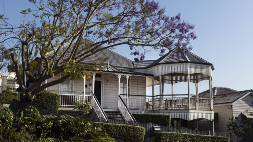
Let’s goHistoric Milton
The final and perhaps most gentle walk in this collection will allow you to explore some of the history of Milton including a bishop’s palace, prominent early houses, and a hallowed sporting precinct.
Let’s go